Acoustic Mapping
Sediment Grain Size and Sedimentary Environments
In the Spring, 2018 the team from the Lamont Doherty Earth Observatory conducted a survey to collect sediment grabs, cores and sub-bottom profiling data.
Details on this survey can be found here: https://lismap.uconn.edu/spring-2018-ldeo-queens-college-sediment-and-sub-bottom-survey/
In the Summer, 2018, the Lamont team conducted a second comprehensive survey to collect additional sediment cores and grabs.
Details on this survey can be found here: https://lismap.uconn.edu/summer-2018-ldeo-queens-college-sediment-sampling/
Ecological Characterization
The Ecological Characterization for the Phase II are occurred during three research cruises onboard the Research Vessel Connecticut that also provided at-sea time to conduct a large portion of the Physical Oceanography observation campaign. In addition replicate sediment samples from the SEABOSS cruises were shared with the Lamont-Doherty Earth Observatory team for additional sediment grain size analyses.
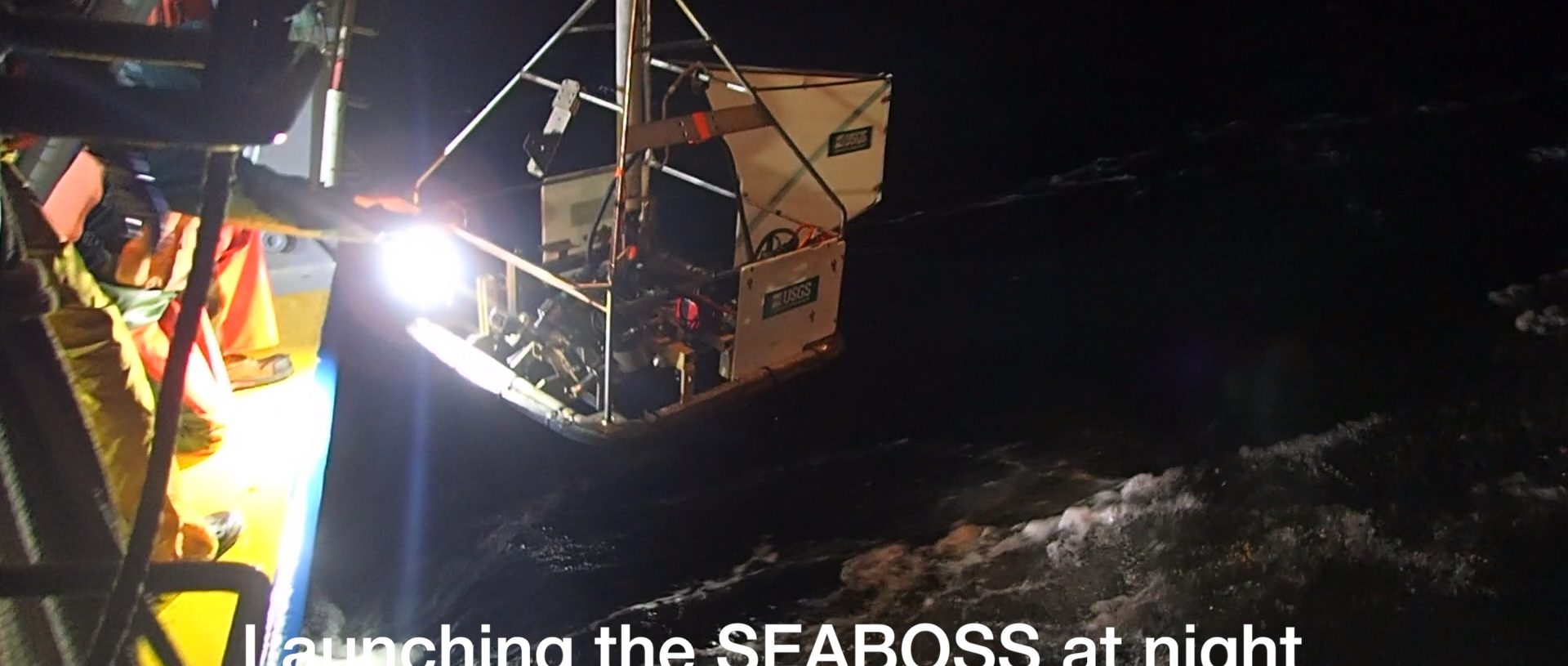
The first cruise occurred in late November - early December, 2017 and utilized the US Geological Survey's SEABOSS to both collect sediment samples for the infernal component and digital still and video for the epifaunal data: https://lismap.uconn.edu/lismarc-fall-2017-cruise-summary/
The second cruise again utilized the SEABOSS in mid-May, 2018: https://lismap.uconn.edu/spring-2018-seaboss-cruise-summary/
The third cruise, utilized the Kraken2 ROV for those areas that weren't able to be sampled by the SEABOSS due to rugged topography or hard substrates: https://lismap.uconn.edu/spring-2018-kraken2-rov-cruise-summary/
Physical Oceanography
A large portion of the Physical Oceanographic data were collected in tandem with the Ecological Characterization cruises. This entailed evening sampling collecting Acoustic Doppler Current Profiler (ADCP) data and frequent casts to collect conductivity, temperature and depth (CTD) profile data. Additional cruises were conducted to deploy the seafloor observing platforms utilized in the Phase I Pilot program.
