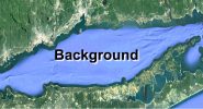
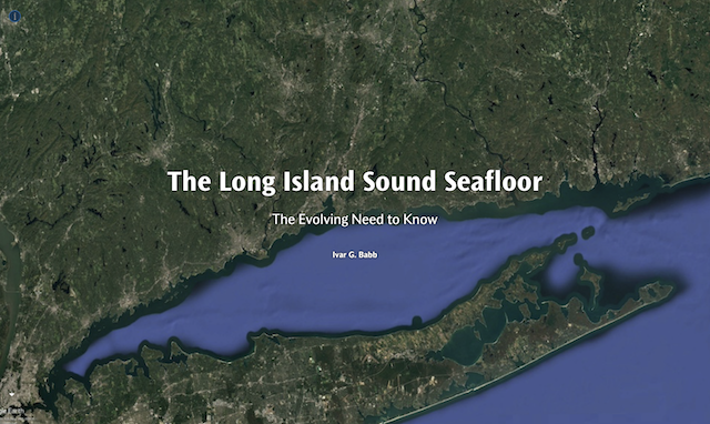
 Map of Long Island Sound from Google Earth
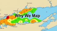
 Map of the distribution of hypoxia (low oxygen levels) in Long Island Sound from the CT Department of Energy and Environmental Protection
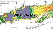
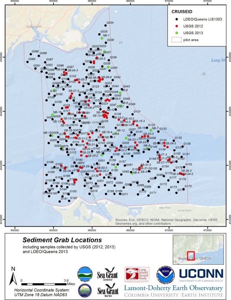
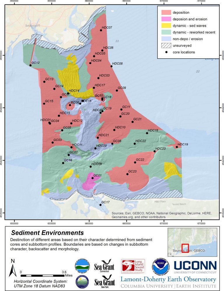
 Map of the distribution of bottom sediment types in Long Island Sound from the USGS
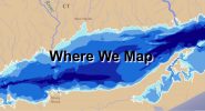
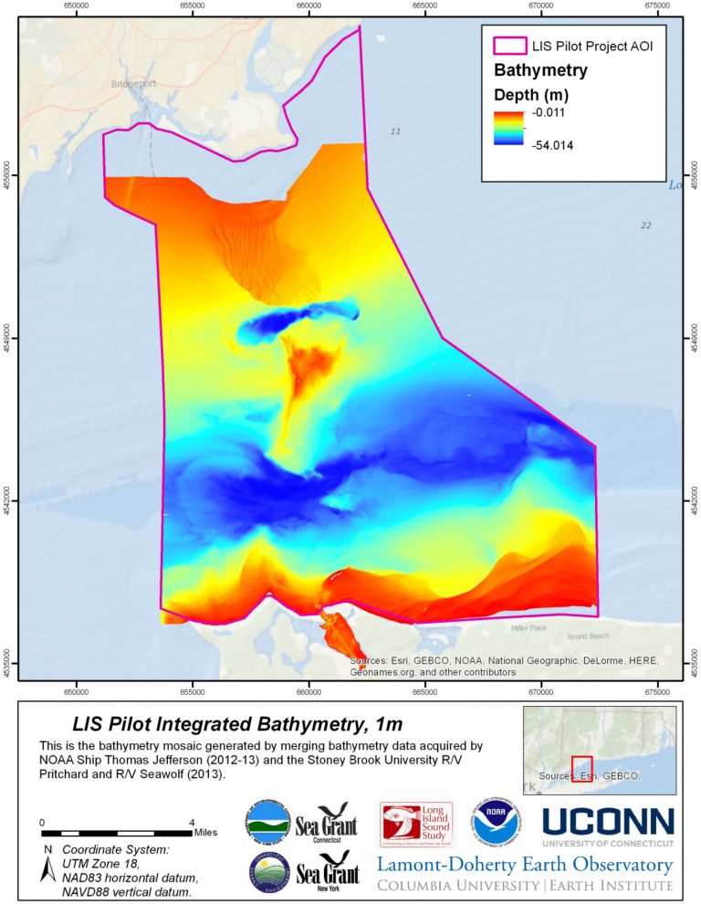
 Map of the bathymetry (water depth) in Long Island Sound
 Map of Long Island Sound showing the amplitude (color ramp) and direction (arrows) of near bottom subtidal currents
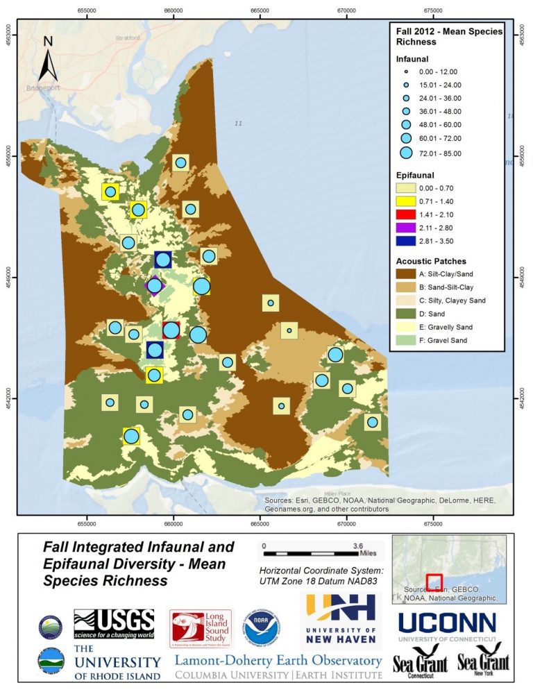
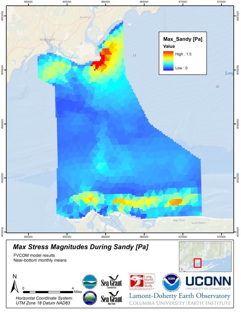
Elements of Habitat Mapping – Examples of Phase I Products
