The following summary points were extracted from the Executive Summary of the Phase I Pilot Area Final Report:
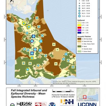
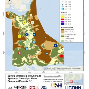
- Integrating the analyses of spatial and seasonal variation of infaunal and epifaunal communities produced notable results. Of particular interest are the consistent patterns in high diversity of both infaunal and epifaunal taxa along the crest and slopes of Stratford Shoal as well as sloping environments to the southwest and southeast off the north shore of Long Island. These patterns persists using simple species richness (S) and Shannon diversity (H’) across seasons and despite sampling at fewer targeted blocks in the spring.
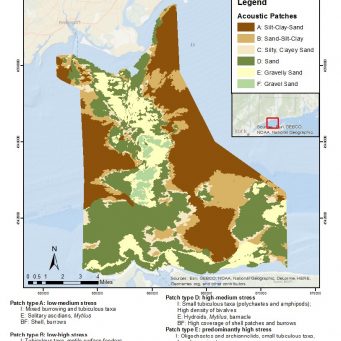
- An integrated habitat map links acoustic patch types to mean bottom tidal stress and the defining ecological characteristics of infauna, epifauna, and biogenic features. Notable is the faunal response to the general gradient in grain size from acoustic patch types A to F (i.e., fine to coarse) along with the concomitant gradient of increasing tidal stress. The trend here is between these characteristics of the physical environment, the shifts in infaunal taxa, the shift from short-lived to long-lived fragile epifaunal species, and the shift from burrowed sediments to high coverage patches of biogenic shell.
- It is important to acknowledge that data to characterize infaunal and epifaunal communities was collected in fundamentally different ways (i.e., grabs versus imagery).
- Therefore, comparisons between diversity measures for infauna and epifauna are relative. Future sampling effort should incorporate an element to better integrate epifauna with infauna for statistical comparisons, such as replicate airlift sampling of patch sizes comparable to grabs within each sampling block.
Here are some representative images from this section of the Final Report. Hover your mouse over the image to stop the scroll.
The Final Report and Appendixes can be found here: http://longislandsoundstudy.net/research-monitoring/seafloor-mapping


