![]()
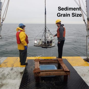
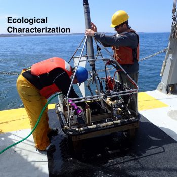 Rinsing the SEABOSS to collect all of the sediment for infaunal analyses
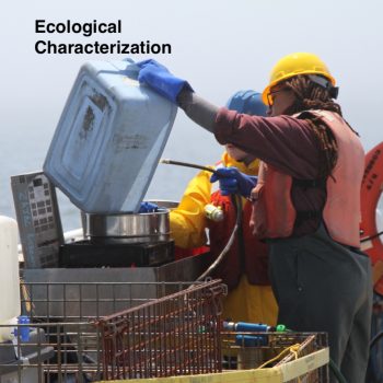 University of New Haven graduate students sieving samples to collect organisms living in the sediments
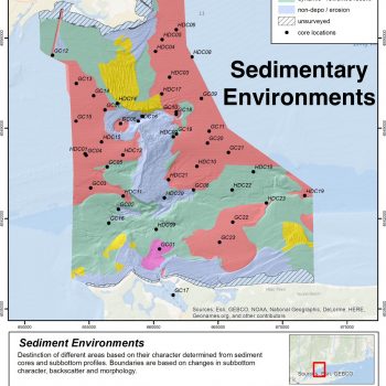
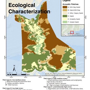 The composite Habitat Map developed as one of the most important data products
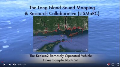
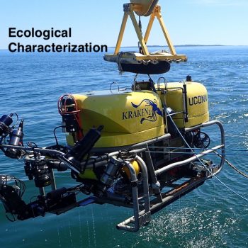 Recovering the Kraken2 remotely operated vehicle after a dive in Long Island Sound


