The Phase III of the Long Island S0und Cable Fund Habitat Mapping initiative is about to get underway. Three teams (UConn, Lamont Doherty Earth Observatory and Stony Brook University) have submitted proposals to begin assessing existing and collecting new acoustic data in the area. This first step has been recognized as being necessary to develop the bathymetric and backscatter map products that are essential for the subsequent geological, ecological and physical characterizations that have been conducted in the Phase I and Phase II areas.
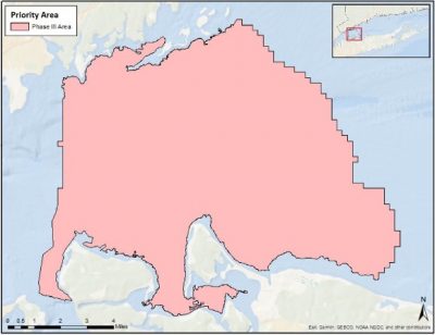
Map of the Phase III area
More information will be made available as these projects get underway in 2023.