Phase II Ecological Characterization – Data Summary

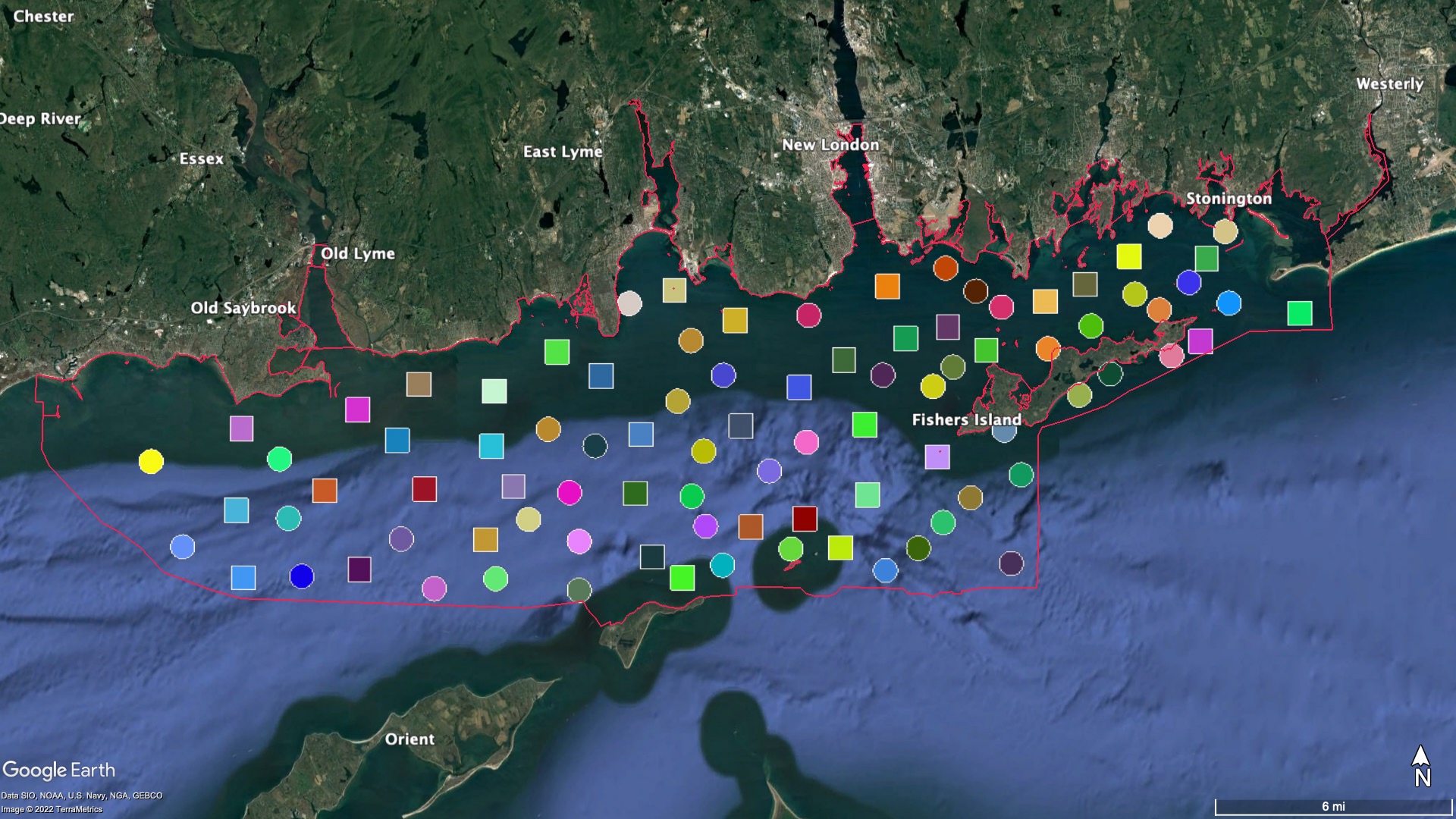
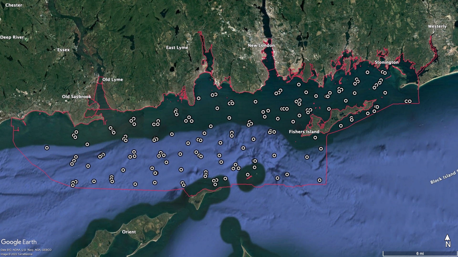
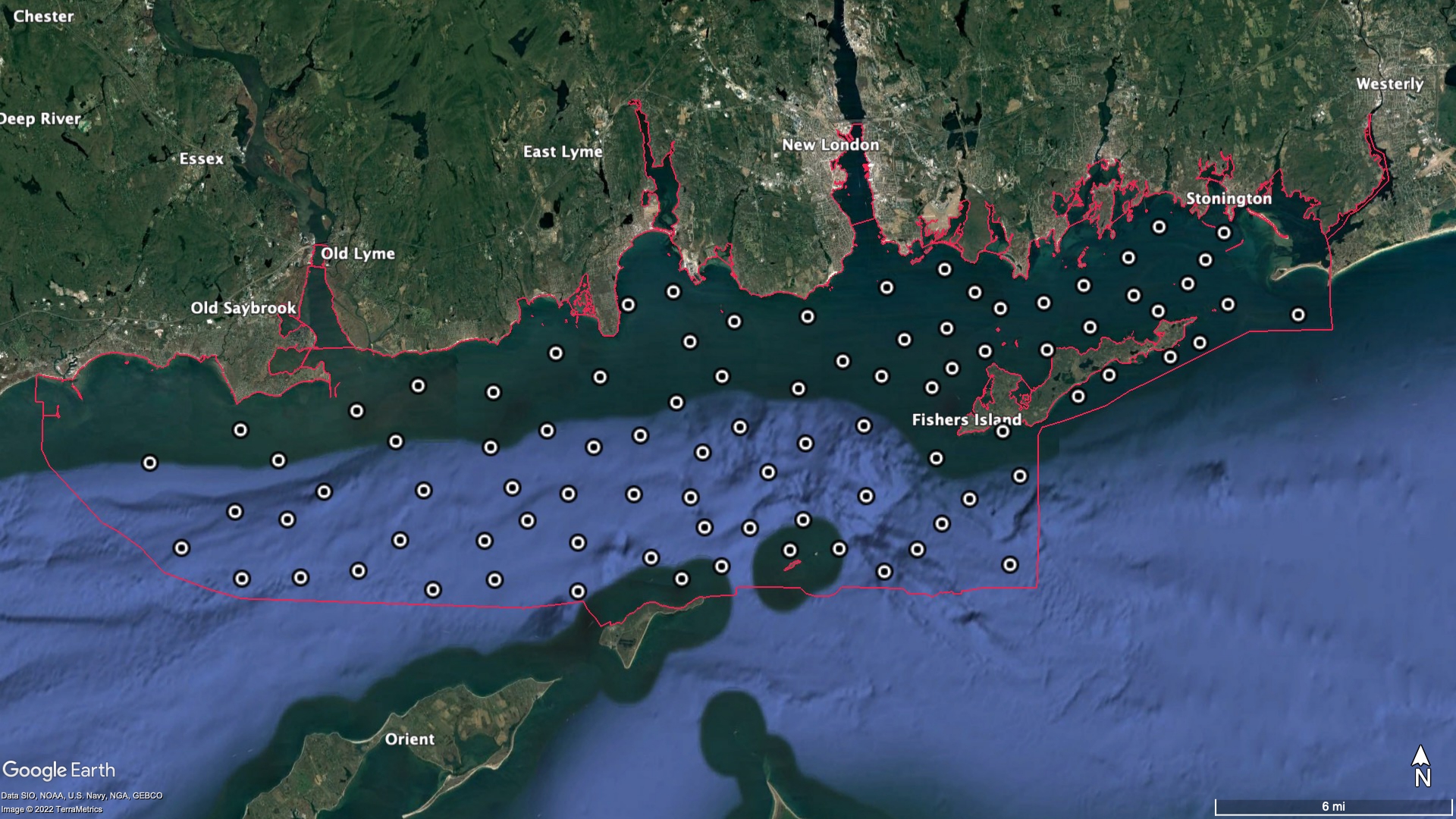
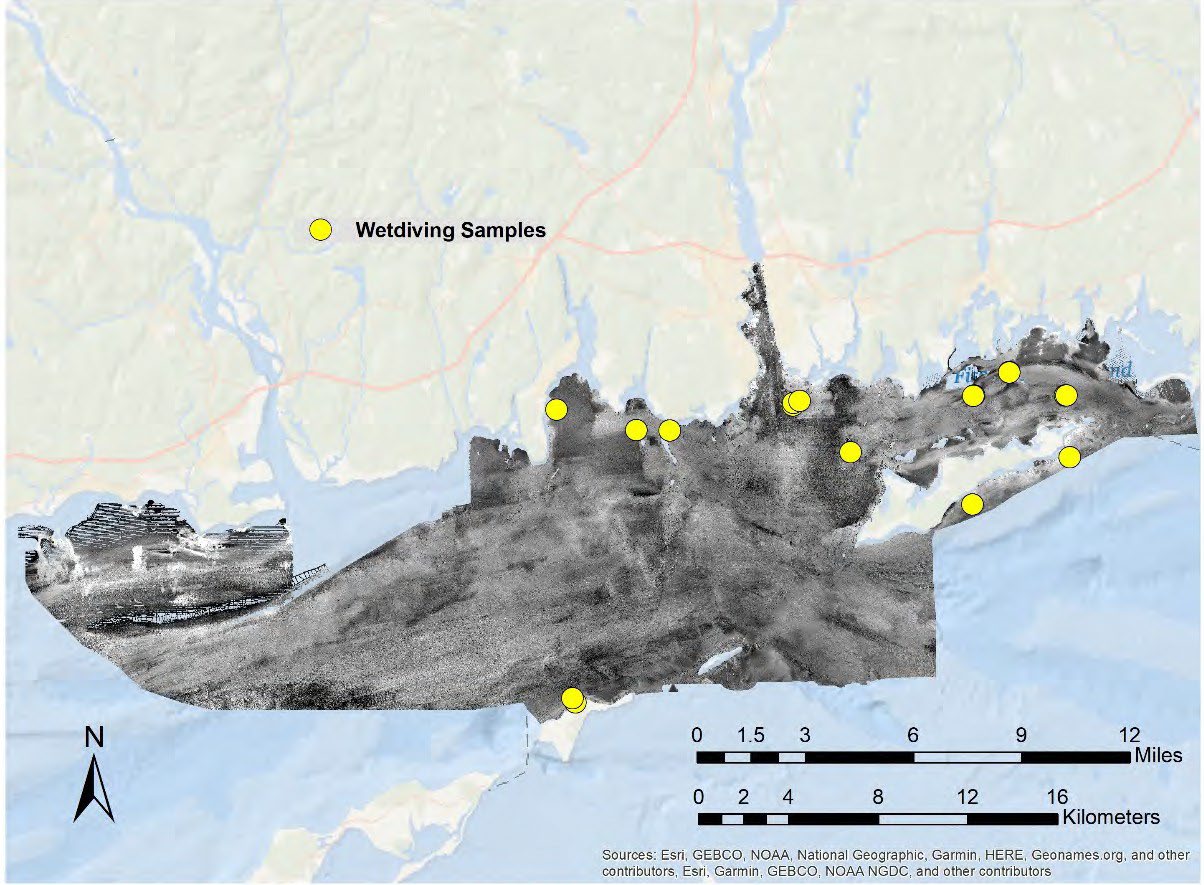
The table below provides the results of the Ecological Characterization element of the Phase II area Long Island Sound Cable Fund Habitat Mapping initiative, featuring results of the infaunal and epifaunal analyses, including links to the spatial data, databases and the attendant metadata that provides the attributes and data acquisition details and explanations.  In addition, the first row provides a link to a .pdf with all of the map products in the LIS Cable Fund-approved map template.​​

Data Description Preview Metadata Download
All Ecological Characterization maps 2017 & 2018 Thumbnail of a map of the ecological sampling blocks and sites in the Phase II area All Ecological Characterization maps 2017 & 2018
Infaunal data map 2017 & 2018 SEABOSS


Thumbnail map of the Phase II area with the results of the infernal analyses Infaunal map metadata

.pdf 702 KB

Map of the Phase II final infaunal data

ESRI .shp file, 42 KB

Infaunal database 2017 & 2018 SEABOSS Infaunal database metadata

.pdf 594 KB

Infaunal database 2017-2018

.pdf file 1 MB


Epifaunal diversity  map 2017 SEABOSS Epifaunal diversity map 2017 metadata

.pdf 572 KB

Map of the Phase II Epifaunal 2017 Diversity

ESRI .shp file 7 KB

Epifaunal diversity map 2018 SEABOSS Epifaunal diversity map 2018 metadata

.pdf 577 KB

Map of the Phase II Epifaunal 2018 Diversity

ESRI .shp file 8 KB

Epifaunal diversity database 2017 SEABOSS Epifaunal diversity database 2017 metadata

.pdf file 599 KB

Epifaunal diversity database 2017

.pdf 947 KB

Epifaunal diversity database 2018 SEABOSS & ROV Epifaunal diversity database 2018 metadata .pdf 598 KB Epifaunal diversity database 2018

.pdf 975 KB

Epifaunal images & CMECS classes database 2018  SEABOSS, ROV & wet diving Epifaunal images & CMECS classes metadata .pdf 605 KB Epifaunal image & CMECS classes database 2018

.pdf 822 KB

Epifaunal wet diving images database 2017 & 2018 Thumbnail map of wet diving sample & image sites in the Phase II area 2017 & 2018 Epifaunal wet diving images database 2017 & 2018 metadata

.pdf 600 KB

Epifaunal wet diving images database 2017 & 2018

.pdf 80 KB

Epifaunal wet diving suction sample database 2017 & 2018 Thumbnail map of wet diving sample & image sites in the Phase II area 2017 & 2018 Epifaunal wet diving suction sample database 2017 & 2018 metadata .pdf 597 KB Epifaunal wet diving suction sample database 2017 & 2018

.pdf 56 KB

Epifaunal Simper cluster map 2017 & 2018 Thumbnail of a map of the ecological sampling blocks and sites in the Phase II area Epifaunal Simper cluster map metadata

.pdf  566 KB

Epifaunal Simper cluster map 2017 & 2018

.shp file 5 MB

Epifaunal select taxa map 2017 & 2018 Thumbnail map of Epifaunal select taxa 2017 & 2018 in the Phase II area Epifaunal select taxa map 2017 & 2018 metadata

.pdf 581 KB

Epifaunal select taxa map 2017 & 2018

.shp 7 KB

Epifaunal select features map 2017 & 2018 Thumbnail map of Epifaunal select features 2017 & 2018 in the Phase II area Epifaunal select features map 2017 & 2018 metadata

.pdf 566 KB

Epifaunal select features map 2017 & 2018

.shp 6 KB