The table below provides the results of the Sediment Texture and Grain Size Distribution element of the Phase II area Long Island Sound Cable Fund Habitat Mapping initiative, including links to the spatial data for acoustic data sets acquired along with the attendant metadata that provides the attributes and data acquisition details and explanations.
All of the data are from the original USGS Data Release:
Ackerman, S.D., Huntley, E.C., Blackwood, D.S., Babb, I.G., Zajac, R.N., Conroy, C.W., Auster, P.J., Schneeberger, C.L., and Walton, O.L., (2020) Sea-floor sediment and imagery data collected in Long Island Sound, Connecticut and New York, 2017 and 2018: U.S. Geological Survey data release, https://doi.org/10.5066/P9GK29NM.
| Data Description | Preview | Metadata | Download |
|---|---|---|---|
| Bottom photo locations
|
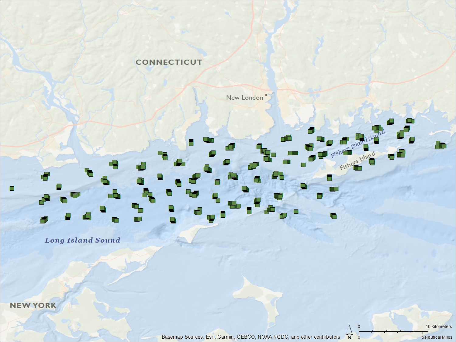 |
Photo metadata
.pdf of xml 599 KB |
2017-056-FA_and_2018-018-FA_photos
ESRI .shp file, 369 KB 2017-056-FA_and_2018-018-FA_photos .pdf of spreadsheet, 2.2 MB |
| Sample location and grain-size analysis results
|
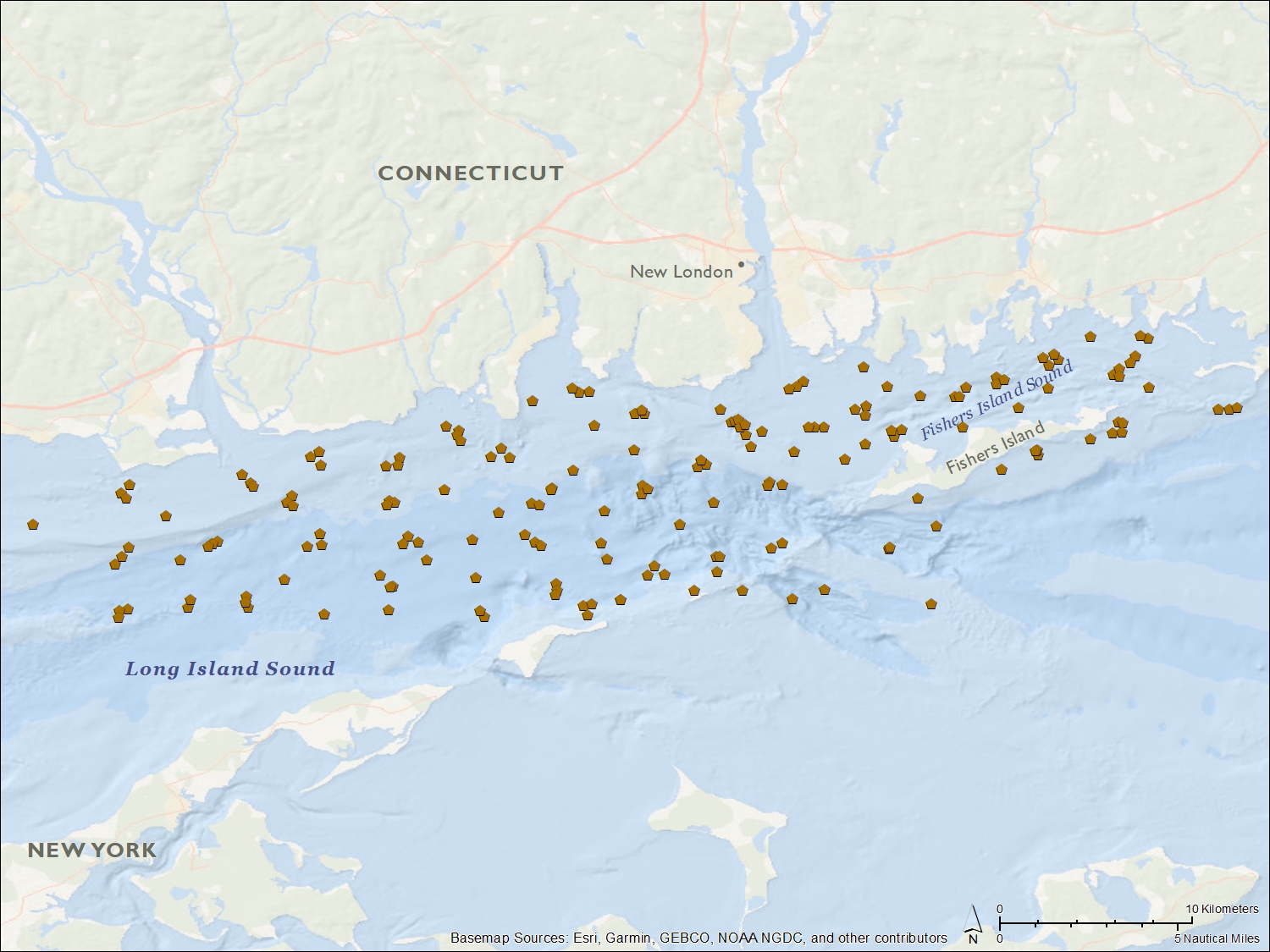 |
Sample location and grain size metadata .pdf of xml 1.2 MB | 2017-056-FA and 2018-018-FA sediment sample locations ESRI .shp file 22 KB
2017-056-FA and 2018-018-FA sediment analyses using GS-MS, .pdf file 206 KB 2017-056-FA and 2018-018-FA sediment analyses using GS-LD, .pdf file 290 KB |
|
Bottom video locations
|
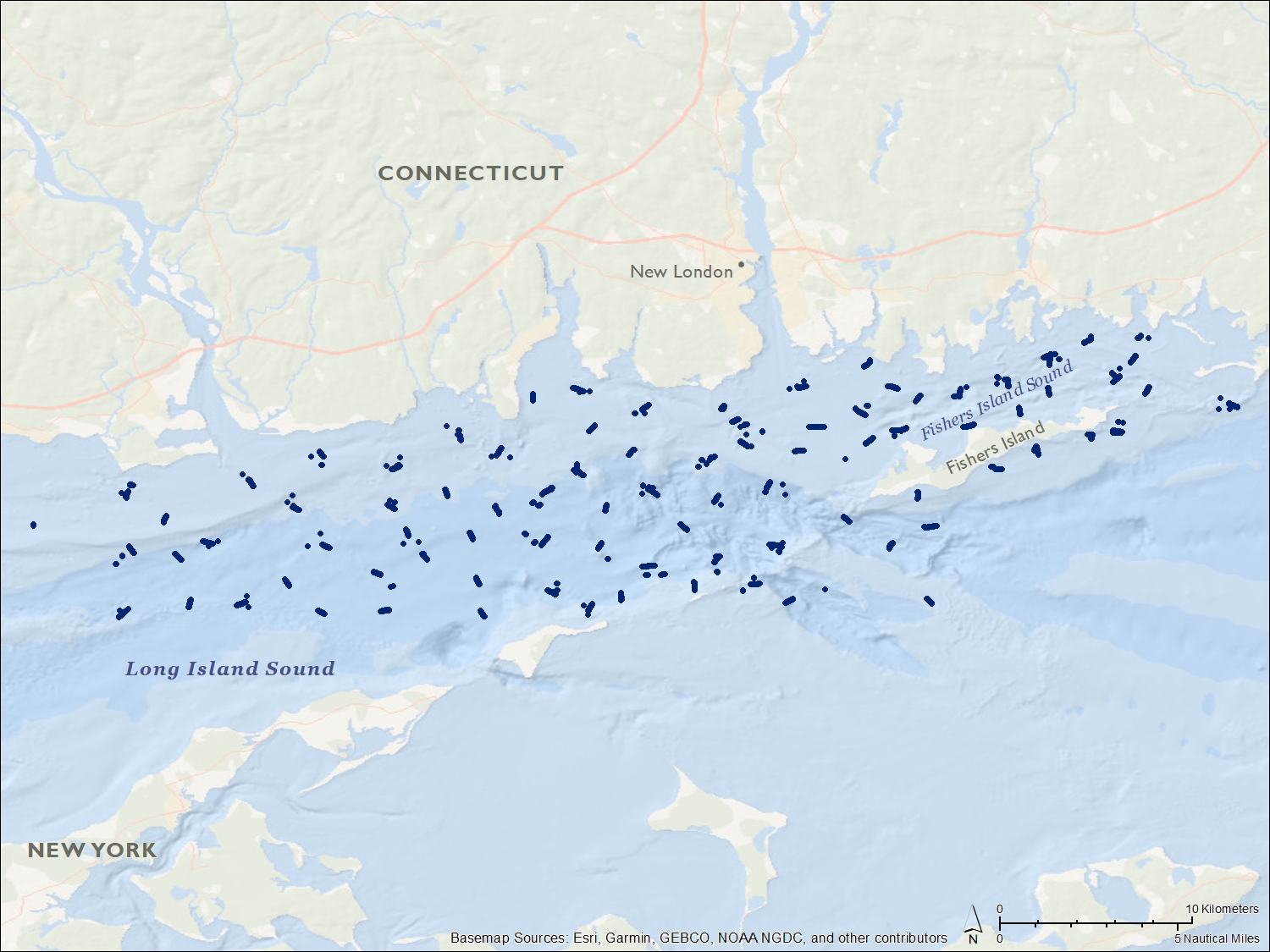 |
.pdf of xml 445 KB |
Location of 2017-056-FA and 2018-018-FA bottom videos ESRI .shp file 654 KB |