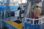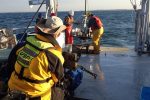
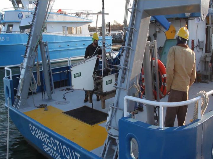
 The US Geological Survey's SEABOSS is loaded onto the Research Vessel Connecticut
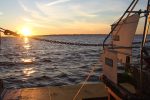
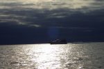
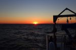
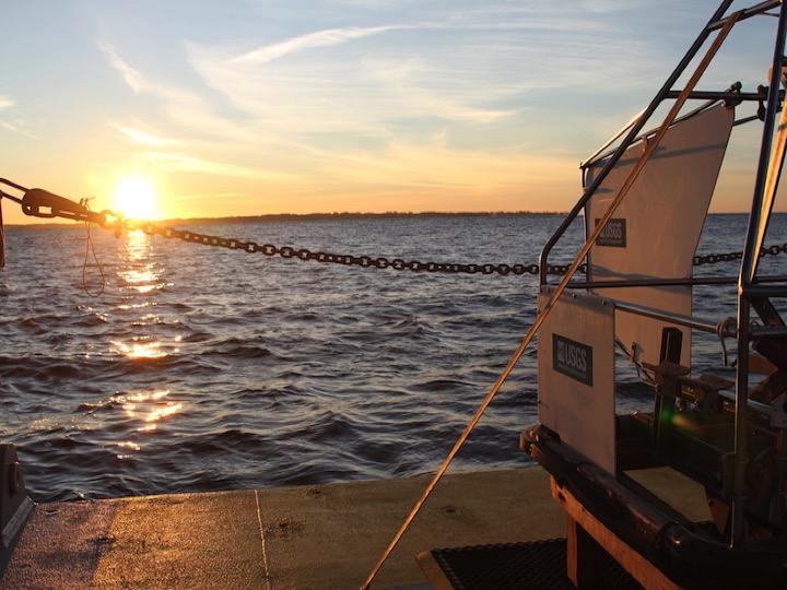 The sun rises over Long Island Sound
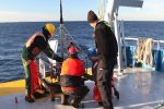
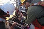
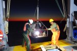
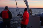
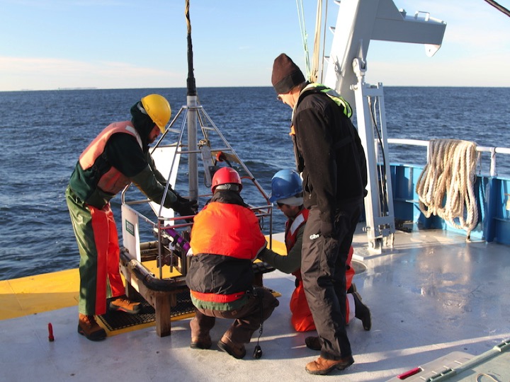 Preparing to deploy the SEABed Observation and Sampling System (SEABOSS)
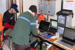
 Preparing the control station for the launch of the SEABOSS
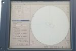
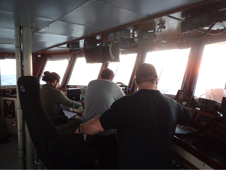 Entering the locations of the planned sites into the vessel's navigation system
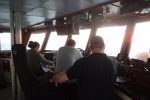
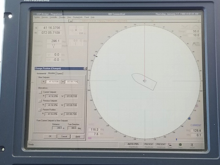 The dynamic positioning system on the RV Connecticut is essential for accurate site navigation
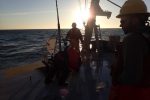
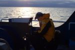
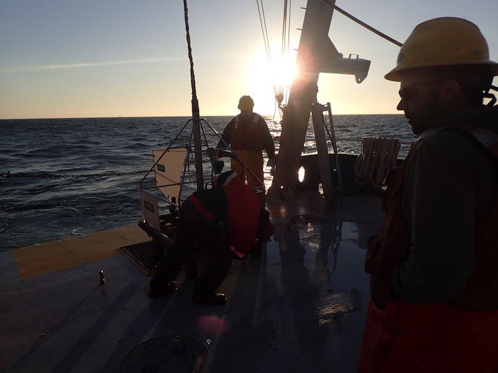 Launching the SEABOSS at sunrise on the first day of operations
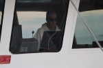
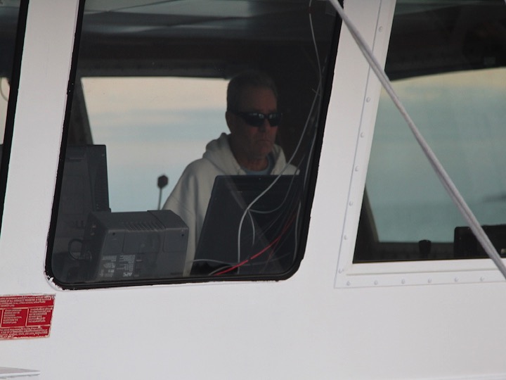 The vessel's first mate Frank mans the aft-looking navigation station during deployment
 USGS's Dann Blackwood controls the winch of the SEABOSS
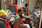
 Principal Investigators Roman Zajac (U. of New Haven), Christian Conroy (UConn) and technicians Seth Ackerman (USGS) and Tyler Fountain (UMaine)
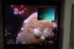
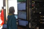
 An additional viewing station of the two video feeds coming from SEABOSS
 The SEABOSS is recovered using a winch on board the RV Connecticut
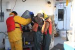
 The SEABOSS collects sediments that are bagged for grain size analyses back in the lab
 The remainder of the sediments are sieved to collect all of the organisms that live within them
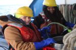
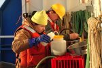
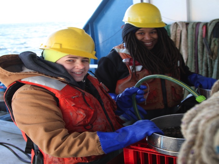 University of New Haven graduate students Courtney and Olivia sieving the sediments on the deck of the RV Connecticut
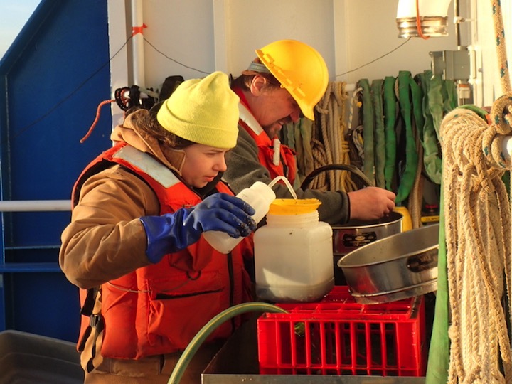 PI Roman Zajac getting his hands dirty sieving the infaunal sediments
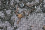
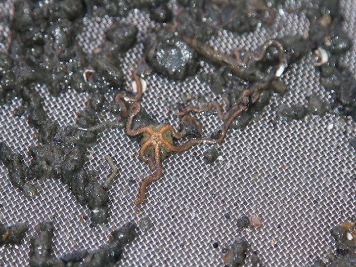 An ophiuroid, also called a brittle star, found during the sieving of the sediments
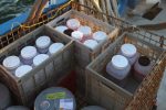
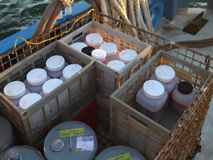 The sieved infaunal samples are dyed and fixed then stored on deck
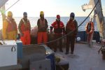
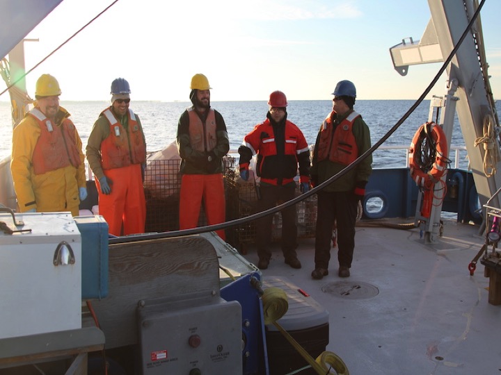 The science team standing by while the RV Connecticut moves to the next site
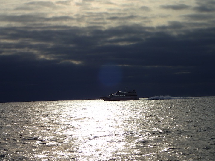 The fast ferry on its way from Long Island to New London, Connecticut
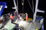
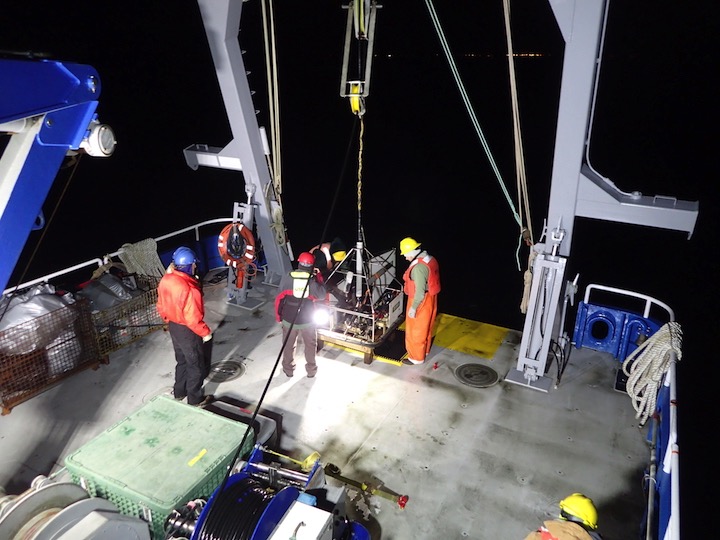 The operations continued into the early evening with the launch of the SEABOSS
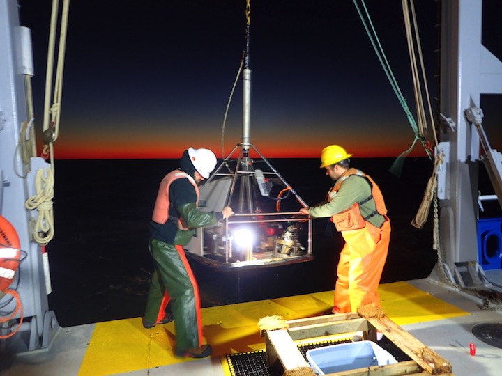 The SEABOSS is recovered after its last deployment of the day
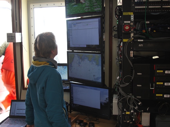 Technician Kay Howard-Strobel prepares to conduct Acoustic Doppler Current Profile surveys from the RV Connecticut during the evening hours
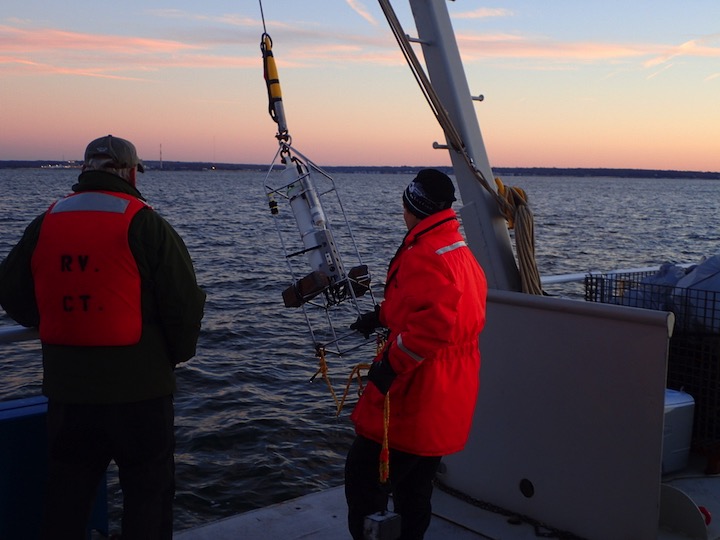 Kay also conducted Conductivity, Temperature and Depth (CTD) samples during the evening
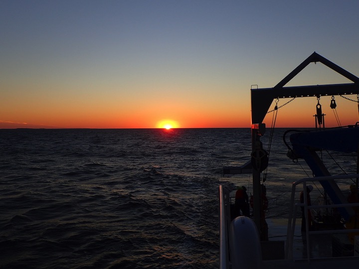 The sun sets over Long Island Sound
