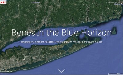
Beneath the Blue Horizon - click on the image to link to a story map describing some of the methods and technologies being used by the Long Island Sound Habitat Mapping teams to better understand the Sound and produce data products that managers can use to make better decisions on how to balance the many goods and services that the Sound provides.
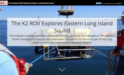
The Kraken2 ROV Explores Eastern Long Island Sound - click on the image to link to a story map of the recent K2 ROV’s exploration of the Phase II area that includes beautiful images and detailed descriptions of the seafloor habitats.
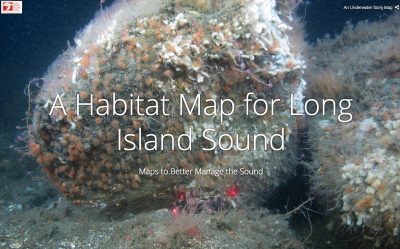
Habitat Map - click on the image to link to a story map describing how the Long Island Sound Habitat Mapping team developed a “Habitat Map” – a comprehensive data product that integrates many data sets to provide managers a powerful tool to make better decisions and improve stewardship of the Sound.
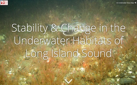
Stability and Change - click on the image to link to a story map that describes underwater habitats that exhibited stability throughout the year from the fall, 2012 to the spring, 2013. It also tells the story of another area that showed similar stability over ten years starting in 1992, but then dramatically changed in 2012.
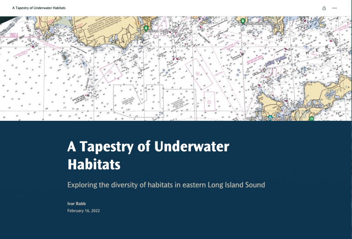
A Tapestry of Underwater Habitats - click on the image to link to a story map that highlights some of the diverse habitats found in the eastern Long Island Sound area explored during the Phase II initiative. The story map features a Map Tour of eight locations each with a carousel of images. The story also features the development of the Habitat Map for the the Phase II area and describes the five major habitat types identified in the Phase II area.
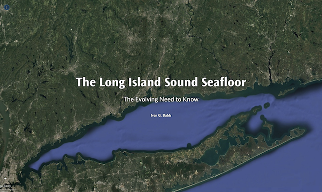
The Long Island Seafloor: The Evolving Need to Know - click on the image to link to a story map that briefly describes the evolution of seafloor mapping and the evolving need to know more about the seafloor to better manage the ever-increasing uses, users and resulting impacts to the Sound's resources and ecosystems.